
Building World-Class Collections
As part of the only research library in Southern Nevada, the UNLV Libraries Special Collections is the premiere intellectual hub for the interdisciplinary study of our region and our most important industry, gaming. We actively collect a range of unique, rare, or specialized materials to support original research and scholarship.
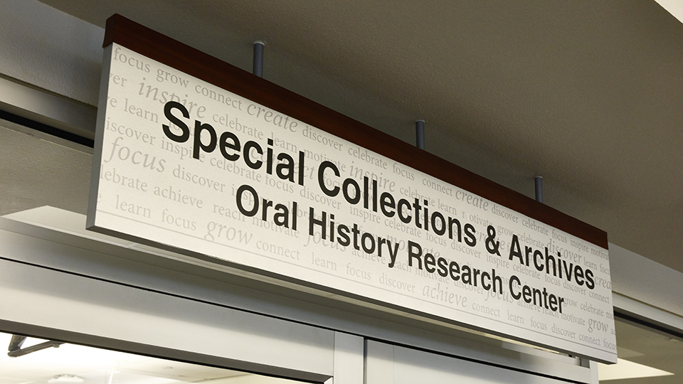
Fostering Discovery & Access
The UNLV Libraries Special Collections has the infrastructure to ensure that the historical materials in its care will be discoverable and accessible for future generations.
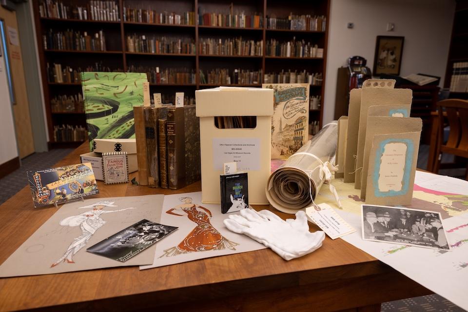
Whether a 17th century book, a box of family photographs, or a warehouse of corporate records, the faculty and staff in Special Collections know what to do. Special Collections Technical Services staff employ the latest national standards and best practices in organizing, preserving, and describing rare or historical materials. Our holdings are expertly organized and housed in ways that extend their lifespan. Our professional staff analyze and catalog materials so researchers around the world can find our material through Google searches or in library databases.
When we have the rights to do so, we digitize our most significant historical materials so they are fully accessible on the web. The UNLV Libraries has a state-of-the art digitization lab where our staff scan and photograph large volumes of material. Catalogers and web designers ensure materials are findable and engaging to a wide range of audiences. Our Digital Collections department has received multiple competitive grants and awards. The collection websites provide worldwide access to our unique and interesting content, ranging from Howard Hughes to Hoover Dam, or from mining history in Southern Nevada to Las Vegas showgirls.Safeguarding Collections for Future Generations
The UNLV Libraries Special Collections takes many precautions to ensure the safety and security of the valuable materials we preserve. We are committed to the long-term accessibility of our unique collections. None of our materials circulate. Researchers use materials in a pleasant, well-lit space that is constantly monitored by staff. We help researchers handle materials carefully and respectfully. Stack areas are alarmed, and only authorized staff are allowed in secured areas.
Our storage areas are environmentally controlled and monitored to ensure optimal conditions. We regularly use archival supplies to house materials and extend their life spans. The Lied Automated Storage and Retrieval (LASR) unit ensures we have space for the growth of our collections. The UNLV Libraries also operates the only professionally equipped and staffed preservation laboratory in Nevada. Expert staff protect, repair, and preserve valuable materials with state-of-the art equipment.Creating New Knowledge
Chances are that you have seen material from the UNLV Libraries Special Collections on television in “Vegas,” “CSI,” and in any number of episodes of the History and Travel Channels, the Netflix series “House of Cards,” or “Las Vegas: An Unconventional History” on PBS’s The American Experience or CNN’s “Vegas: The Story of Sin City.” Or perhaps, you have seen our visual materials in Nevada repositories such as the Mob Museum, the Springs Preserve, the Atomic Testing Museum, the Neon Museum, or the Nevada State Museum.
But museums are not the only facilities in which you’ll find our photographic collections. You may have seen them on Clark County banners hung along the median on the Strip or on the walls in the Regional District Court, Clark County Public Works building, Nevada Water Resources office, the State Historic Preservation Office, or the City of Henderson government offices. Our images are found in Las Vegas resorts as well, including the Cosmopolitan, and the D Hotel.
Promoting Scholarship and Life-Long Learning
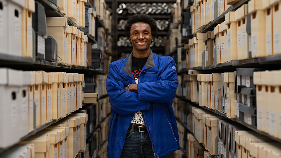
The UNLV Libraries Special Collections make history come alive for Las Vegas area students. In partnership with UNLV faculty and Clark County teachers, we actively introduce students to Special Collections and assist them with conducting original research. In addition to piquing their interests, we teach students how to evaluate primary sources critically.
UNLV is an essential part of Las Vegas’s cultural landscape, and the UNLV Libraries regularly sponsor events to showcase our intellectual contributions. Public outreach programs like our Community Archives Workshop and Open House help us reach out to Las Vegas community members to provide guidance on how they can become empowered to preserve their own records.